|
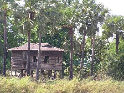
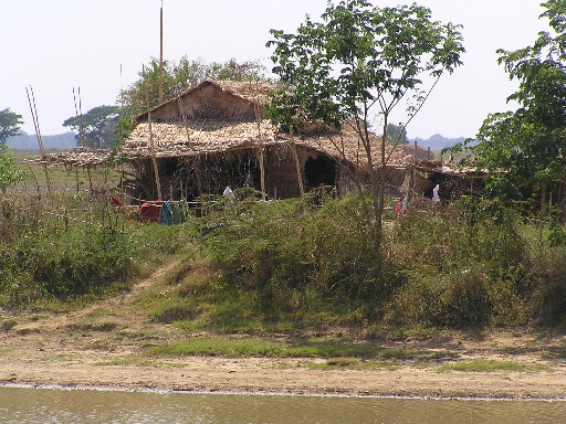
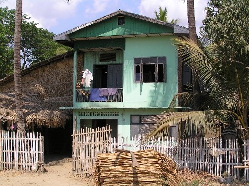
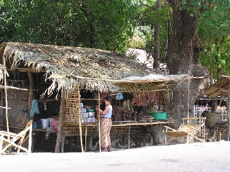
Mawlamyine is the third largest city in Myanmar after Yangon and Mandalay. Situated 300 kilometres south east of the nation's capital at the mouth of the Thanlwin river, it is the capital of Mon State with a population of almost 300,000 people. Formerly known as Moulmein, it was once a thriving teak port and the administrative capital of British Lower Burma. Connecting the country's south eastern region with its capital, Yangon is the Thanlwin Bridge, the longest road and rail bridge in Myanmar. It stretches a distance of 11,000 feet over the Thanlwin River. We drove over the bridge which is rather spectacular but I have no photos. It is forbidden to take photos of it. Mawlamyine is generally considered to be off the main tourist track It seems that unless a person has a specific reason very few tourist venture to this part of Myanmar. My reason was to visit the Burma-Thailand" death railway" and the Thanbyuzayat War Cemetery where my father is buried. Our time in Mawlamyine was limited: a three day tour but two days were spent travelling. It was very hot. The trip was slow, taking eight hours each way but the scenery was fascinating.
The people may not have many worldly possessions but they are happy, friendly and seem content. .Source for some of the information: http://www.mawlamyine.com Last changed: Saturday October 18, 2014
|
||||||||